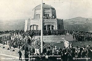
This spectacular viewpoint along the Historic Columbia River Highway 30 was the site of the 1916 dedication of a highway that was, for that time, an innovative European-style road that traced a winding path through the perilous Columbia River Gorge, linking Portland and The Dalles.
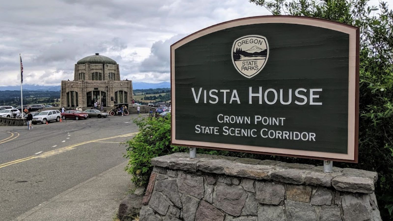
Vista House opened in 1918 as a glamorous rest stop and observatory for those traveling the new highway. This “comfort station” was a rest stop like no other, featuring marble floors, stained glass windows — and, of course, a stunning view. In the words of The Oregonian, it was “the finishing achievement for the greatest highway in America.”
Architect Edgar M. Lazarus designed the building to be functional, beautiful and commemorative; a memorial to the settlers who had traveled the final stretch of the Oregon Trail along the Columbia River. Stone panels inside are carved with the names of settler families. Listed on the National Register of Historic Places in 1974, the building fulfills Lazarus’s vision as a “temple to the natural beauty of the Gorge.”
The octagonal building houses a museum, gift shop and interpretive display of historic and geologic points of interest in the Gorge. Additional information about the site’s history can be found at the National Park Service website in their Vista House brochure. The landmark is open daily, weather permitting. It closes when winds reach 50mph or more.

The Columbia River Gorge at Crown Point passes from the steeper, more rugged terrain of the western slopes of the Cascade Range to the broad Willamette Valley that stretchs along the western edge of the High Cascades from Oregon into Washington.
To the east the spectacular Crown Point section of the Columbia River Gorge was downcut through thick 16 million year old flood basalts by the much older Columbia River as the Cascade Range rose over the past 5 million years. About 16,000 years ago the ice-age Missoula Floods roared repeatedly through the Gorge up to 1000 feed deep, sweeping away millions of years of accumulated rock debris and even tearing out the underlying basalt bedrock to form the steep sided, box-shaped Gorge cross-section we marvel at today.
The Crown Point promontory provides a strategic vantage point for observing the beautiful entrance to the wonders of the Columbia River Gorge. Crown Point also marks the beginning of the “Waterfall Corridor” that features eight waterfalls along the historic highway, including Multnomah Falls. This is an excellent place to envision how 500 cubic miles of water might have rushed through the Gorge during the great Missoula Floods an the end of the last ice age.