THIS IS WHERE IT ALL BEGAN!
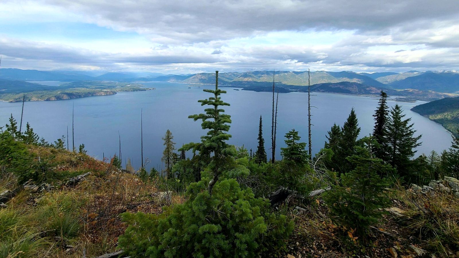
The Green Monarch Ridge viewpoint, just south of the Hope Fault, is positioned along the edge of the Purcell Trench Ice Lobe.
Here it was responsible for damming the mouth of the Clark Fork drainage basin. This damming effect resulted in the formation of Glacial Lake Missoula, the source of the waters for much of the PNW Pleistocene Ice Age Floods.
The Purcell Trench Ice Lobe originated in Canada and flowed south into Idaho, guided by the structural control of the Purcell Trench. Following the path of least resistance into the basin now occupied by Lake Pend Oreille, it was impeded by the Green Monarch Ridge, located approximately 10 miles south of this viewpoint.
Grinding and scraping, the Purcell Trench Ice Lobe backed up behind the Green Monarch Ridge, eventually building an ice plug up to 4,000 feet thick, and scouring out the deepest parts of Lake Pend Oreille.
The Purcell Trench Ice Lobe divided into four sub-lobes: one went approximately west (US Highway 2), two went south (US Highway 95 and Lake Pend Oreille) and one went east (SR 200).
All four sub-lobes contributed to blocking the Clark Fork drainage