Description
This beautiful new, full color map of the Ice Age Floods Glacial and Temporary Lakes shows the locations and maximum extents of Glacial Lake Missoula, Glacial Lake Columbia, and the several temporary lakes (Lake Lewis, Lake Condon, Lake Allison and others) that formed for only a couple of weeks at any one time along the path of the several Ice Age Floods.
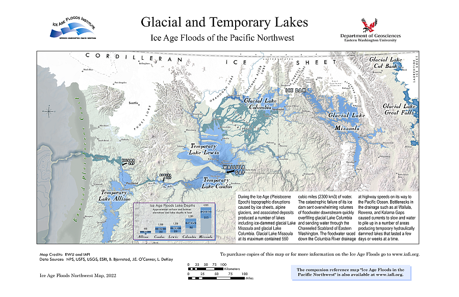
The glacial and temporary lakes are shown as overlays on the area inundated by the Ice Age mega-floods. The map also shows the general outline of the shoreface exposed by the lowered sea level during the glacial maximum, and it shows a portion of the Astoria Fan that was the final resting place for most of the sediment striped and carried by the floodwaters.
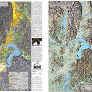
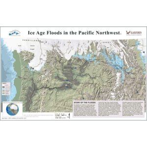
This map has been assembled by the Ice Age Floods Institute and Eastern Washington University based current best data from field research. Many of the key features are labeled for easy reference, and a brief summary of the Ice Age Floods story is presented in a inset area. A smaller inset illustrates the relative elevations and depths of the main glacial and temporary lakes. The map is presented on a terrain basemap with numerous towns and cities shown for reference.
THE IAFI MAP IS AVAILABLE TWO FORMATS:
- 11″ x 17″ – $12.00
- 24″ x 36″ – $20.00
The larger 24″x36″ Glacial and Temporary Lakes map, showing details in finer resolution than the smaller 11″x17″ map version, is ideal for wall displays or work tables. The smaller 11″x17″ version includes all the details of the larger 24″x36″ version, but it is a more convenient size for desktop and travel use. Some users may want to laminate copies of these maps for more durable use, such as for field work or interesting table placemats.